Why this matters now
In late August 2026, Australian quantum-software company Q-CTRL completed what it calls the world’s first open-water, GPS-free quantum navigation trial at sea. Over an 83-kilometre route in the Coral Sea, its Ironstone Opal system kept a vessel’s position error within about one nautical mile roughly 1.85 km without using satellite signals. That performance was more than ten times better than standard navigation-grade inertial backups under the same conditions.
For anyone in critical infrastructure, defence, or maritime security, this isn’t just a lab curiosity. It’s the first credible field evidence that quantum-assisted navigation can move from controlled demonstrations to real ships in real seas with real motion and noise and still deliver a meaningful advantage when GPS is degraded, spoofed, or denied.
The problem with GPS at sea
Global Navigation Satellite Systems (GNSS), including GPS, underpin almost all modern maritime navigation. But they have well‑known weaknesses:
- Jamming and spoofing: In Q1 2026 alone, there were around 978,000 recorded GPS jamming events worldwide, with the vast majority concentrated in conflict zones and high‑risk corridors.
- Single point of failure: A ship relying primarily on GNSS has no independent way to verify its position if signals are corrupted or blocked.
- Drift in backups: When GNSS goes down, vessels fall back on inertial navigation systems (INS); these estimate position by integrating acceleration and rotation over time. Without external correction, their errors accumulate, often reaching tens of kilometres over long missions.
In practical terms, today’s “GPS-denied” navigation often means we know roughly where we started and have a good sense of heading and speed, but our absolute position becomes increasingly uncertain the longer we operate without satellite fixes.
What Q-CTRL actually tested
Q-CTRL’s trial was designed to stress-test a new approach called quantum gravimetric navigation, or “GravNav”. The core idea is simple in principle but hard in practice.
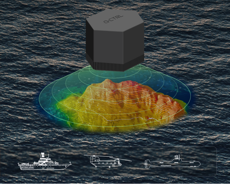
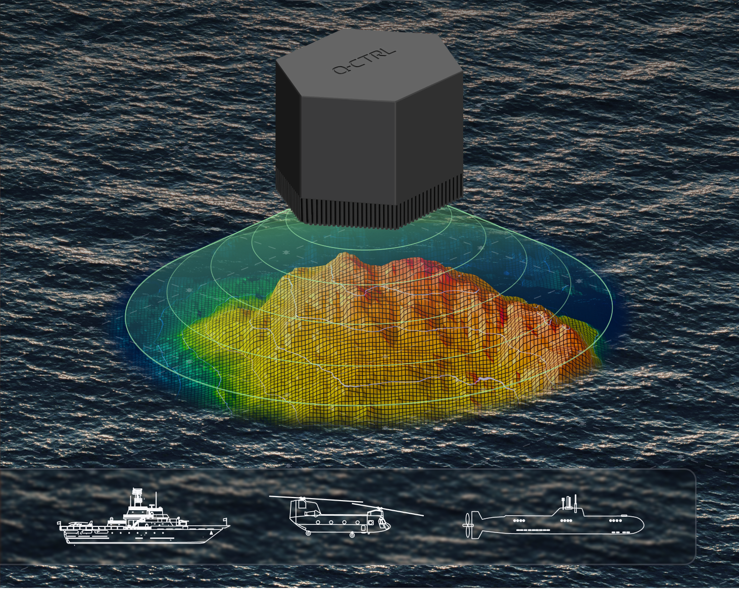
- The Earth’s gravity field is not uniform. Underwater mountains, trenches, and variations in crustal density create subtle “hills and valleys” in gravity.
- If one can measure those tiny variations accurately while moving and have a pre-existing gravity map of the area, you can match your measurements to the map and infer your position without any external radio signals.
The hardware and setup
Key elements of the trial, as described in Q-CTRL’s announcement and associated technical preprint:
- Platform: A 29‑metre surface vessel operating in the Coral Sea, off Australia’s east coast.
- Sensor: A hybrid quantum gravimeter combining:
- An atomic (quantum) sensor based on cold‑atom interferometry, which is extremely sensitive to small changes in gravity.
- A classical accelerometer used to stabilise bias and handle high‑frequency motion.
- Installation: The system was installed in a normal passenger cabin with no special environmental stabilisation or vibration isolation beyond what a typical ship cabin provides. It ran autonomously.
- Navigation chain: A separate navigation-grade inertial measurement unit (IMU) provided the baseline inertial solution. The quantum gravimeter’s gravity measurements were used to correct this INS solution by map-matching against a satellite-derived gravity anomaly map. GNSS was excluded from the entire measurement and correction chain.
Mission profile
- Distance: Approximately 83 km (about 45 nautical miles).
- Duration: Around 56 hours of total trial time, including stationary and moving segments. The key navigation leg was roughly six hours of underway transit.
- Sea state: Operations included conditions up to Sea State 4, with the vessel experiencing normal wave‑induced motion.
- Configurations tested: Both gimbaled (mechanically stabilized) and strapdown (fixed to the ship’s structure) deployments were evaluated over identical routes.
What “10x better accuracy” actually means
The headline figure “10x better accuracy” needs unpacking because different sources phrase it slightly differently.
Position error vs backup systems
Q-CTRL’s core claim:
- The quantum‑assisted solution maintained a bounded positioning accuracy of about 1 nautical mile throughout the mission.
- This was more than ten times better than the performance of a conventional navigation‑grade GNSS backup (i.e., an unaided INS) under the same conditions.
In one analysis of the underlying preprint:
- At the 83‑km endpoint, the uncorrected INS had accumulated a position error of roughly 26 km.
- The gravity-aided solution (GravNav) reduced that terminal error to about 4.1 km, an improvement of around 6.3x at that point.
- For much of the route, particularly up to around 70 km, the gravity-aided solution stayed within the one-nautical-mile bound. This aligns with the “10x” framing compared to how fast a standard INS diverges.
The “10x” claim is best understood as:
- For most of the mission, the quantum‑assisted system kept errors tightly bounded to within one nautical mile.
- A conventional inertial backup, left to drift without GNSS, would have seen errors grow many times larger over the same time and distance.
Why this is significant
Even taking the more conservative endpoint figure (6.3x at 83 km), the result is still a major step forward.
- It shows that gravity map‑matching with a mobile quantum sensor can materially constrain INS drift in a real maritime environment.
- It demonstrates that the system works without any GNSS in the loop, not just as a GNSS‑enhancement but as a true GNSS‑free positioning aid.
For operators, that translates into: more confidence in position estimates during GPS outages, longer safe operating windows in contested or degraded environments, and an additional layer of resilience for critical maritime missions.
How quantum gravimetric navigation works
At a high level, the system does three things:
- Measures local gravity very precisely.
The quantum gravimeter uses cold atoms in an interferometer to detect minute changes in gravitational acceleration as the ship moves. These changes are tiny on the order of microgals but the quantum sensor can resolve them even on a moving platform. - Compares measurements to a gravity map.
Before the mission, high‑resolution gravity anomaly maps of the operating area are prepared (often from satellite data, refined with airborne or shipborne surveys). During the voyage, the system continuously compares real‑time gravity readings to this map. - Corrects the inertial solution.
The INS provides a continuous estimate of position, velocity, and attitude, but it drifts. By matching the measured gravity profile to the map, the system infers where the ship must be to see that particular gravity signature, then nudges the INS solution back toward the correct track.
Think of it as navigating by “gravity fingerprints”. Every stretch of ocean has a slightly different gravity pattern, and if your sensor is good enough, you can recognise where you are just by “feeling” those patterns.
The role of AI and software ruggedisation
A critical enabler is not just the hardware but the AI-powered software that makes the quantum sensor usable on a moving ship.
- It stabilizes the sensor output against ship motion, vibrations, and environmental noise.
- It fuses quantum and classical sensor data to produce a clean gravity signal suitable for map‑matching.
- It runs the map‑matching algorithms that translate gravity measurements into position corrections.
Q-CTRL describes this as “software-ruggedized” quantum sensing: taking a delicate laboratory-grade instrument and making it robust enough for field deployment without exotic isolation systems.
What this trial got right and where caution is still needed
Strengths of the demonstration
Several aspects make this trial stand out from earlier quantum‑navigation experiments:
- Fully GNSS‑free: No satellite signals were used in the navigation measurement or correction chain. This is a true backup, not just a GNSS augmentation.
- Real ship, real sea: The system ran in a normal cabin on a 29‑metre vessel, in open water, with natural wave motion up to Sea State 4.
- Autonomous operation: Once installed, the system operated without constant expert tuning, suggesting it can scale beyond research teams.
- Dual configurations: Testing both gimbaled and strapdown setups shows flexibility for different vessel designs and integration constraints.
Open questions and limitations
At the same time, some caveats are important for a realistic view:
- Map dependency: The technique relies on having sufficiently detailed gravity maps for the operating area. In well‑surveyed regions this is feasible; in remote or poorly mapped waters, performance may degrade.
- Resolution limits: The trial resolved gravity anomalies down to roughly 300 metres along the track about 50 times finer than typical satellite‑only maps but still not at the scale of very small features.
- Peer review and replication: The results are currently in a preprint and in company announcements. Independent replication and full peer review will be important to cement confidence in the numbers, especially the “10x” framing versus the 6.3x endpoint figure.
- Long‑term endurance: While a 56‑hour stationary test showed that atom referencing reduced long‑term drift by about 70x compared with the classical channel alone, extended multi‑day or multi‑week deployments under varied conditions still require more data.
None of these caveats negates the achievement; they define the next agenda for engineering and research.
Strategic implications for defence and critical infrastructure
For cybersecurity, defence, and critical‑infrastructure leaders, this trial lands squarely in the “resilience” bucket.
Maritime security and contested environments
- GPS‑denied operations: In regions where GPS jamming and spoofing are common, a quantum‑assisted backup gives commanders a more reliable sense of position without emitting signals or relying on vulnerable infrastructure.
- Layered navigation architecture: Future vessels are likely to run a fused solution: GNSS when available, quantum‑assisted gravity navigation as a long‑duration backup, plus other aids (celestial, terrain, RF‑opportunity navigation) as additional layers.
Critical infrastructure and commercial shipping
- Safety and compliance: For commercial shipping, more robust positioning during GNSS outages can improve safety, reduce grounding risk, and support regulatory compliance in high-risk corridors.
- Insurance and risk models: As these technologies mature, insurers and regulators may start to factor “quantum-resilient navigation” into risk assessments for vessels operating in contested or high-threat areas.
Broader quantum‑sensing momentum
This maritime trial follows earlier Q-CTRL demonstrations of magnetic-field-based quantum navigation (MagNav) on ground and airborne platforms, which reportedly outperformed high-end conventional GPS alternatives by up to 100x in some tests. Together, these results suggest a pattern:
- Quantum sensors are moving from “promising lab results” to field-proven components in navigation stacks.
- Software and AI are as important as hardware in making quantum sensing practical outside controlled environments.
What this means for AI, cyber, and emerging‑tech readiness
If someone works in cybersecurity or emerging-technology strategy, this development is a concrete example of several broader trends:
- AI‑enabled quantum systems: The value isn’t just in the quantum sensor; it’s in the AI‑driven signal processing, sensor fusion, and map‑matching that turn raw data into usable navigation.
- Resilience by design: National and organisational strategies for critical infrastructure increasingly emphasise “graceful degradation” when primary systems fail. Quantum‑assisted navigation is a textbook case: it doesn’t replace GPS, but it keeps the system functional and safer when GPS is compromised.
- Dual‑use technology: The same capabilities that support defence operations also enhance commercial safety and security. That dual‑use nature will shape export controls, investment flows, and international competition in quantum technologies.
For teams building AI readiness or cyber‑resilience programmes, this is a useful reference point when discussing:
- How quantum and AI converge in real systems.
- Why “post‑GPS” thinking matters for transport, logistics, and critical infrastructure.
- How to frame investment cases for next‑generation sensing and navigation resilience.
What to watch next
Over the next 12–24 months, several developments will tell us how quickly this moves from prototype to operational capability:
- Peer‑reviewed publications and independent trials: Expect more detailed analyses of error budgets, map requirements, and performance across different sea states and geographies.
- Integration with existing navigation suites: Vendors and navies will explore how to fuse quantum gravimetric data with INS, GNSS, and other sensors in standardised architectures.
- Miniaturisation and cost reduction: Moving from cabin‑sized setups to more compact, shipboard‑integrated units will be critical for wider adoption.
- Expansion to other domains: Similar gravity‑ or magnetic‑based quantum navigation approaches are likely to be tested more extensively in air and undersea platforms.
Bottom line
The Coral Sea trial doesn’t mean GPS is obsolete. It does, however, mark a clear inflexion point: for the first time, a quantum‑assisted navigation system has shown GPS‑free, real‑world maritime performance that is meaningfully better than today’s standard inertial backups.
For organisations responsible for maritime security, critical infrastructure, or defence technology, the takeaway is straightforward:
- Start treating quantum‑assisted navigation as a credible element of future resilience architectures.
- Factor “post‑GPS” scenarios into training, exercises, and procurement roadmaps.
- Watch how AI‑driven software turns delicate quantum hardware into practical, deployable capability.
In a world where GPS can be jammed, spoofed, or simply unavailable, having a navigation layer that “reads” the Earth’s own gravity field and does so with quantum precision could be the difference between staying on course and drifting into uncertainty.
About the Author